When PELE comes to Puna ❤️🔥❤️🔥❤️🔥💋💋💋🏝🏝🏝🌊🌊🌊❤️🩹❤️🩹❤️🩹 lerzpunanewsblog 10-21-21 xox
Aloha beautiful PunaTICS ❤️🔥💋🌊🏝☮️💘🌋 here’s some good reading for ya xo
When Pele comes to Puna
A Kilauea/Puna update has been appended at the end of the post
Distance makes the heart grow fonder. Volcanoes are best loved from far away. The excitement of live lava is best viewed on a screen and not through the window. Of course, actual distance is good, but distance in time is also often deemed sufficient. Your house may be next to a lava flow, but if that flow is 300 years old, the chances will seem pretty good. It makes that threatening mountain into a true neighbourly volcano, viewed with affection rather than trepidation.

So it must have appeared to the inhabitants of Puna. Yes, there were lava flows around, some less than a century old. Yes, the area around the Royal Gardens subdivision had been utterly destroyed by the seemingly never-ending eruption. But that was much closer to Kilauea, and Puna should be safe. Almost 60 years of quiescence was a pretty good sign. And Puna is a really interesting place to live. The forest is absolutely beautiful, and the tropical gardens could grow anything (including, admittedly, some fierce mosquitos). The area was initially quite isolated and the community self-sufficient: it was a good place for people with an independent, self-reliant attitude. Not everything was paradise, and the distinction between rich and poor could be pronounced. Development had accelerated with time, with more and more houses and industry. Part of the forest was cut to make way for farming. The geothermal plant generated 20% of the Big Island’s electricity. And still it was not a bad place to live. At least, until May 3rd, 2018 when the first fissure opened and the gardens started to grow flowers of quite a different kind.
But how secure should the people have felt? Was this eruption bad luck, or was it waiting to happen?


All of Puna is lava. The lush growth conceals this well but look underneath and even the rain forest is built on lava. In this climate, it doesn’t take long for lava to green. The first plants germinate within months (although the heat on the black lava can be pretty hostile until some shade develops) . Trees can grow on 40-year old lava, and after that, only the height of the trees betrays the youth of the lava.

Let’s go back a little more. A total of 15 different eruptions are dated to the 200-year period before the 1790 eruption. This includes the explosion of the Kapoho cone. It also contains the shield of Heiheiahulu, which covers a surface area of 45 km2. That eruption started as a short fissure, before building a large cone which at the end collapsed and became a pit crater. Heiheiahulu is very much like Pu’u’U’o. Local stories suggest that it erupted somewhere between 1700 and 1750, and if it is indeed a Pu’u’O’o copy, it may have lasted years. The volume is probably of order 1 km3, which is a few times less than Pu’u’O’o.
Also interesting is a flow from Ai-laau, a vent to the northwest of Kilauea. This produced a flow which made it to Puna, covering the region northwest of the ridge. The flow cover 100 km2: the summit still can outcompete the rift! It also shows another truth about Puna: while the southern and northeastern part are at risk from the LERZ, the area north of the rift is affected by eruptions from near the summit of Kilauea. This is another eruption mode we haven’t seen for some time, but it will re-occur – eventually.
Including these three, a total of 15 separate events have been identified for this period of time. In total they cover 50% of Puna. Ai-laau and Heiheiahulu are by far the most voluminous: excluding them, the rest amounts to about 1 km3. Clearly, the 200 years before 1790 was a scary time in Puna.
Going back another 250 years, eruptions become even more frequent. In the time period which runs roughly from 1300 to 1600, at least 20% of the area of Puna was resurfaced. It may have been much more, since the later flows will have covered up much of the evidence. A staggering number of 54 eruptions have been identified in this time zone. For about half we know where they came from, as we have found the spatter cones at the origins. For the others, the point of origin is buried under younger flows. The eruption of the spatter cone of Puu Kaliu came from a fissure about 1.5 km long, along the southern side of the LERZ. It covers at least 12 km2, and the volume is about 0.2 km3. Puu Kaliu is just south of Leilani.

Two other eruptions were of similar size. One is dated to 490 BP (with an uncertainty of 60 years either way) and lies on top of the Puu Kaliu flows: it covered at least 18 km2 and has a similar volume to Puu Kaliu. The second is dated to 440 BP and may have formed a shield similar to Heiheiahulu, but it is mostly buried by the latter and by the 1955 lava. The cliffs at Kehena, with at least 15 separate layers, comes from this eruption. Puulena Crater is another event from this time period. It is the site of a major phreatic explosion, possibly when a rift opened underneath a lake.
So this was another exciting period of time. Going back further, the record becomes more and more patchy as the evidence for the eruptions is buried underneath younger flows.
So what can we learn from this? Some caution is required as not all dates may be that accurate. Also, some eruptions may have been double counted. For instance, the distinct flow fields of the 1955 eruption could have been counted as two different eruptions with these methods. But overall, it appears that the eruption frequency at Puna has been much higher between 250 and 800 years ago than it has been since. It also seems that the long duration of the Pu’u’O’o eruption is not that exceptional. There have been other longer-lived rift eruptions in the past.
Since 1790, the LERZ has erupted on average once every 50 years, although the intervals have been highly variable. Before that, the eruption frequency was closer to once every decade. And even though the individual volumes aren’t huge, peaking at 0.1-0.2 km3 with most eruptions considerably smaller, at this frequency Puna was rather quickly covered in lava. Almost the entire surface is less than 800 years old. Build a house anywhere in Puna, and the risk of losing it to lava is of order 20% per century. Build it on the ridge, and that risk doubles. Kapoho, at the coast, is particularly endangered: there have been a lot of eruptions in that area, and it runs pyroclastic risks when sea water penetrates the rifts.
The average dormancy time of the LERZ over the past millennium is only about 15 years. Puna is not just a distant appendix of Kilauea. Pele loves it out here, and many of Kilauea’s eruptions push into this region. The volume may be limited, but Puna is one of the most volcanically active areas in the world and possibly the most active in Hawaii. The past 200 years were exceptional. The current eruption is business as usual. These lush gardens are built on a regular supply of molten rock. There is always a cost to paradise.

This post is based on the paper Volcanic geology and eruption frequency, lower east rift zone of Kilauea volcano, Hawaii by Richard B Moore , Bull Volcanol (1992) 54:475-483
Kilauea update 21 May
In the past few days the eruption has gone into another gear. Before, the lava was sluggish and build a ridge but had difficult going beyond that. But, as HVO has predicted, once the new lava arrived it was obvious. Fountaining was the first sign, and soon lava not just clogged but positively flowed. Lava rivers appeared and they moved fast.

The activity became confined mostly to the east-most end of the previously numbered fissures. Fissures 16 and 20 merged and became the main point of action. Fissure 17 came along but seems to fissing out. The map below is on a google map viewer. It shows that the action is just below the Puna Geothermal Plant, which presumably is now defunct. Interestingly, this plant was put in this location because of a thermal anomaly: the ground underneath had higher heat flow than other locations in the area. In hindsight, was this a warning? It is also the area that hadn’t erupted in 1955 while the ridge on either side (of Leilani) had. Now we known that the magma hadn’t skipped through: it had been stored here for later use.

An estimate from the map suggests that the total flow field covers 2-3 km2 so far. A large Puna eruption tends to cover some 10 km2. We are not in that range yet. The amount of erupted lava may be around 0.01-0.02 km3. The current flow field may not get that much larger in surface area until the eruption moves to new fissures.
The fissures have fed two lobes, one of which moved though housing and farm land, and the other through rain forest. The two lobes met and split again, flowing around a kipuka and fed two ocean entries. The eastern (farmland) than found a crack and disappeared into it. What happens next depends on how big a hole it has found, but lack of steam away from it suggest it has not gone far.
Obviously, where lava enters the sea you will get steam: with this volume the lava itself actually become hard to see. The white cloud is both impressive and extremely dangerous. It contains hydrochlorid acid and minute glass particles – think asbestos. Some of the videos taken from boats look dangerously close to the plume to me. (There is a 300 meter exclusion zone which they will be obeying.) Luckily, the trade winds are blowing the plume along the coast away from people on-land (the ones still there shouldn’t be). By the weekend the winds may change and blow the plume in-land, but again, hardly anyone is left there. Along the fissure, the SO2 is very bothersome and it is unlikely to get any better. Volcanic smog is awful and a considerable health hazard.
Fissure 17 (at the far end) is now reported to have erupted andesite. That is probably not that unusual. Puna has significant magma storage and depths of 1 to a few kilometer, and some of that evolved magma has come up. Fissure 17 is at the end of the current line of activity, and so the magma it produced may have had the least amount of mixing with the new magma. There was some discussion whether it came from 1955, but there is certainly far older magma around.
What is next? The current fissures seem to be less vigorous than before and they may have peaked. Cinder cones have build up which I estimate at 30-40 meters tall: some will survive. Fissure 17 will cease shortly, I expect. HVO has reported that GPS no longer shows expansion of the rift, and so the inflow no longer exceeds the outflow – at least here. The fact that the earthquakes around Leilani have ceased also points at that. However, if the current fissures become less active, the pressure up-rift will increase and this could well lead to eruptions there. Fissure 21 is particularly worth watching. Over the next week, there is a danger of similarly fluid eruptions within Leilani, and later also further west. However, this is far from certain! Everthing south of the fissure line is at risk. Outbreaks west of Leilani could also flow northward, although it is unusual for Puna eruptions of the same rift to go both ways.
Pu’u’O’o is dead. GPS shows that the exponential decline has bottomed out: there is nothing left there to drain. It seems unlikely to ever recover, and its final fate may be that of a collapsed pit crater. But who knows, it could still surprise us in a few months.


I have not seen any estimates of the damage yet, apart from a few million dollars due to tourists staying away (can’t entirely blame them, but the north side of the Bg Island is also spectacularly pretty and far from any volcanic disturbance!). But in the scheme of things, that will be small fry. To compare: the Kilauea eruption of Feb 28, 1955 destroyed 21 houses, 10km of road, 4000 acres of sugar plantations and one coffee plantation, amounting to 40 million dollar at today’s prices. Mt St Helens cost 1 billion US, which is half the price of Eyjafjallajokull where the dominant cost was the continent-wide flight ban. The mud volcano in Indonesia has cost around 3 billion so far. The 2018 eruption has already destroyed more buildings than in 1955. However, most of the 1955 cost was in the lost sugar, while in the modern economy there is much less value in the land and much more in property. We can estimate that Leilani as a whole is worth 200 million US, and the geothermal plant probably around 100 million, based on its 38MW capacity. (I find it amazing that Leilani was started less than a decade after the 1955 eruption!). Double the cost to include clean-up, road rebuilding etc, and one can guess a total cost of around half a billion US. That assumes that this eruption continues for a few more weeks: if it ends soon the cost will be less.

https://www.volcanocafe.org/when-pele-comes-to-puna/comment-page-3/
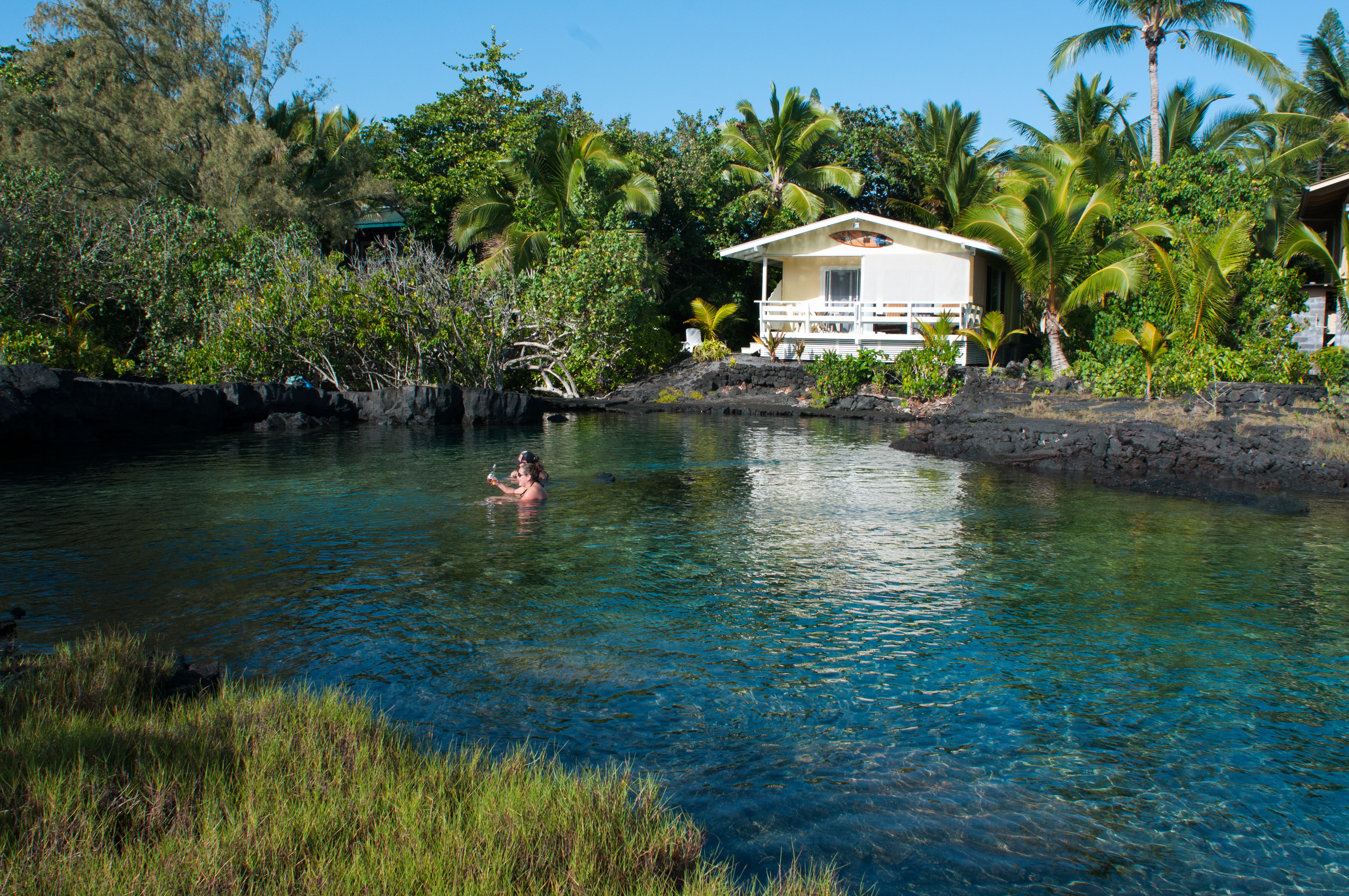
https://lerzpunanewsblog.blogspot.com/2021/10/one-of-my-fav-places-along-our-puna.html
https://lerzpunanewsblog.blogspot.com/2021/10/10-20-21-hawaii-volcanoes-update-lerz.html
Love you all
Jazzy ..
Comments
Post a Comment